
The Porcupines topographic map
Interactive map
Click on the map to display elevation.
About this map
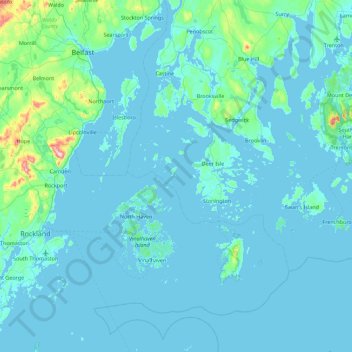
Name: The Porcupines topographic map, elevation, terrain.
Location: The Porcupines, Hancock County, Maine, 04660, USA (43.88064 -69.09142 44.52064 -68.45142)
Average elevation: 24 m
Minimum elevation: -4 m
Maximum elevation: 409 m
Other topographic maps
Click on a map to view its topography, its elevation and its terrain.