
Lidderwat topographic map
Interactive map
Click on the map to display elevation.
About this map
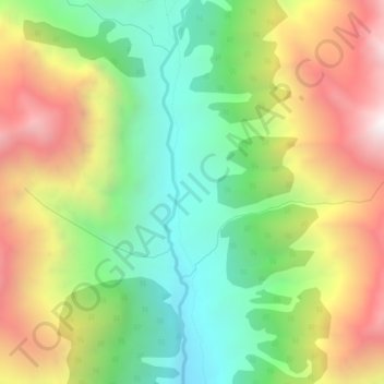
Name: Lidderwat topographic map, elevation, terrain.
Location: Lidderwat, Srīnagar, Jammu and Kashmir, India (34.12178 75.22541 34.16178 75.26541)
Average elevation: 3,243 m
Minimum elevation: 2,557 m
Maximum elevation: 4,155 m