
Blue Springs topographic map
Interactive map
Click on the map to display elevation.
About this map
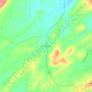
Name: Blue Springs topographic map, elevation, terrain.
Location: Blue Springs, Garland County, Arkansas, 71910, United States (34.65370 -93.09296 34.69370 -93.05296)
Average elevation: 256 m
Minimum elevation: 205 m
Maximum elevation: 352 m