
Village Palluel topographic map
Interactive map
Click on the map to display elevation.
About this map
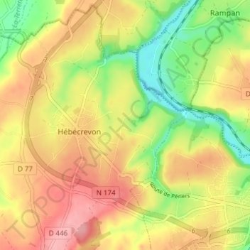
Name: Village Palluel topographic map, elevation, terrain.
Average elevation: 60 m
Minimum elevation: 2 m
Maximum elevation: 110 m
Other topographic maps
Click on a map to view its topography, its elevation and its terrain.
La Cauvinière
France > Normandie > Manche > Hébécrevon
La Cauvinière, Hébécrevon, Thèreval, Saint-Lô, Manche, Normandie, France métropolitaine, 50180, France
Average elevation: 59 m