
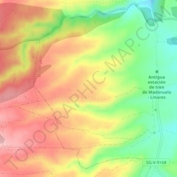
Cueva de la Zorra topographic map
Interactive map
Click on the map to display elevation.
About this map
Name: Cueva de la Zorra topographic map, elevation, terrain.
Average elevation: 1,002 m
Minimum elevation: 918 m
Maximum elevation: 1,073 m
Other topographic maps
Click on a map to view its topography, its elevation and its terrain.
Embalse de Linares del Arroyo
España > Castilla y León > Maderuelo
Embalse de Linares del Arroyo, SG-V-9113, Maderuelo, Segovia, Castilla y León, 40554, España
Average elevation: 970 m