
三道沟镇 topographic map
Interactive map
Click on the map to display elevation.
About this map
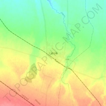
Name: 三道沟镇 topographic map, elevation, terrain.
Location: 三道沟镇, 瓜州县, 酒泉市, 甘肃省, 736100, 中国 (40.39455 96.82666 40.47455 96.90666)
Average elevation: 1,432 m
Minimum elevation: 1,400 m
Maximum elevation: 1,469 m
Other topographic maps
Click on a map to view its topography, its elevation and its terrain.