
Hébertville topographic map
Interactive map
Click on the map to display elevation.
About this map
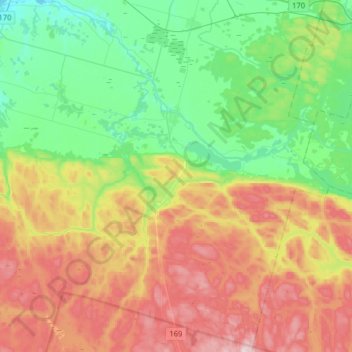
Name: Hébertville topographic map, elevation, terrain.
Average elevation: 257 m
Minimum elevation: 97 m
Maximum elevation: 508 m
Other topographic maps
Click on a map to view its topography, its elevation and its terrain.
Lac Vert
Canada > Québec > Lac-Saint-Jean-Est > Hébertville
Lac Vert, Hébertville, Lac-Saint-Jean-Est, Saguenay–Lac-Saint-Jean, Québec, Canada
Average elevation: 172 m