
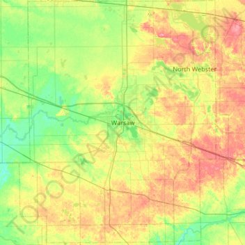
Kosciusko County topographic map
Interactive map
Click on the map to display elevation.
About this map
Name: Kosciusko County topographic map, elevation, terrain.
Location: Kosciusko County, Indiana, USA (41.04135 -86.07769 41.43837 -85.65179)
Average elevation: 262 m
Minimum elevation: 233 m
Maximum elevation: 306 m