
Mechtat Knou Zitoune topographic map
Interactive map
Click on the map to display elevation.
About this map
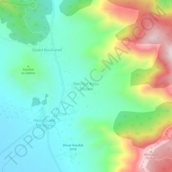
Name: Mechtat Knou Zitoune topographic map, elevation, terrain.
Location: Mechtat Knou Zitoune, Daïra Merouana, Batna, RADP (35.68710 5.96519 35.72710 6.00519)
Average elevation: 1,157 m
Minimum elevation: 932 m
Maximum elevation: 1,632 m