
Thank you for supporting this site ❤️
Make a donation
Make a donation
El Badrashein topographic map
Click on the map to display elevation.
Thank you for supporting this site ❤️
Make a donation
Make a donation
About this map
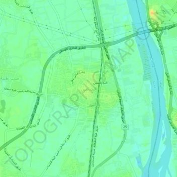
Name: El Badrashein topographic map, elevation, terrain.
Location: El Badrashein, Giza, 12918, Egypt (29.83133 31.25441 29.87133 31.29441)
Average elevation: 22 m
Minimum elevation: 12 m
Maximum elevation: 38 m
Thank you for supporting this site ❤️
Make a donation
Make a donation
Other topographic maps
Click on a map to view its topography, its elevation and its terrain.