
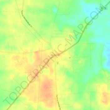
De Berry topographic map
Interactive map
Click on the map to display elevation.
About this map
Name: De Berry topographic map, elevation, terrain.
Location: De Berry, Panola County, Texas, 75639, United States (32.28405 -94.18658 32.32405 -94.14658)
Average elevation: 102 m
Minimum elevation: 80 m
Maximum elevation: 118 m