
Thank you for supporting this site ❤️
Make a donation
Make a donation
Terrebonne topographic map
Click on the map to display elevation.
Thank you for supporting this site ❤️
Make a donation
Make a donation
About this map
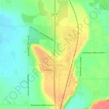
Name: Terrebonne topographic map, elevation, terrain.
Location: Terrebonne, Deschutes County, Oregon, 97760, United States (44.34057 -121.18902 44.37046 -121.15853)
Average elevation: 855 m
Minimum elevation: 829 m
Maximum elevation: 890 m
Thank you for supporting this site ❤️
Make a donation
Make a donation