
Deer Trail topographic map
Interactive map
Click on the map to display elevation.
About this map
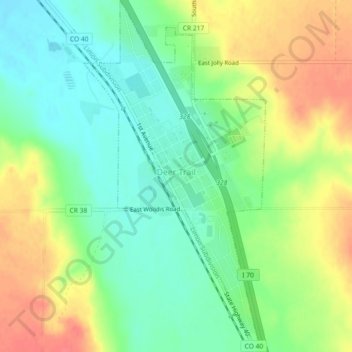
Name: Deer Trail topographic map, elevation, terrain.
Location: Deer Trail, Arapahoe County, Colorado, United States (39.59523 -104.05647 39.63016 -104.03298)
Average elevation: 1,598 m
Minimum elevation: 1,573 m
Maximum elevation: 1,631 m