
Urberach topographic map
Interactive map
Click on the map to display elevation.
About this map
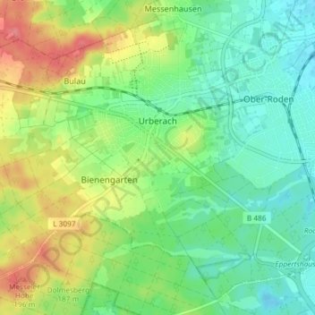
Name: Urberach topographic map, elevation, terrain.
Average elevation: 163 m
Minimum elevation: 137 m
Maximum elevation: 208 m
Urberach liegt auf einer Höhe von 152 m ü. NHN, 15 km südlich von Offenbach am Main, zwischen Dietzenbach im Norden, Langen im Westen und Messel im Süden.