
Raj Khand topographic map
Interactive map
Click on the map to display elevation.
About this map
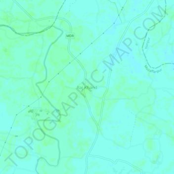
Name: Raj Khand topographic map, elevation, terrain.
Location: Raj Khand, Auraiy, Muzaffarpur, Bihar, 843312, India (26.33741 85.53864 26.37741 85.57864)
Average elevation: 56 m
Minimum elevation: 53 m
Maximum elevation: 58 m
Other topographic maps
Click on a map to view its topography, its elevation and its terrain.