
柳园镇 topographic map
Interactive map
Click on the map to display elevation.
About this map
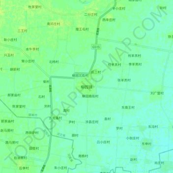
Name: 柳园镇 topographic map, elevation, terrain.
Location: 柳园镇, 临漳县, 河北省, 056600, 中国 (36.12588 114.54859 36.20588 114.62859)
Average elevation: 64 m
Minimum elevation: 59 m
Maximum elevation: 70 m
Other topographic maps
Click on a map to view its topography, its elevation and its terrain.