
Видомля topographic map
Interactive map
Click on the map to display elevation.
About this map
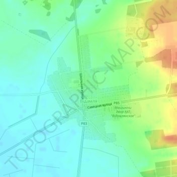
Name: Видомля topographic map, elevation, terrain.
Average elevation: 154 m
Minimum elevation: 140 m
Maximum elevation: 180 m
Other topographic maps
Click on a map to view its topography, its elevation and its terrain.
Демянчицы
Беларусь > Брестская область > Каменецкий район > Видомлянский сельский Совет
Демянчицы, Видомлянский сельский Совет, Каменецкий район, Брестская область, Беларусь
Average elevation: 145 m