
Aït Hemmad topographic map
Interactive map
Click on the map to display elevation.
About this map
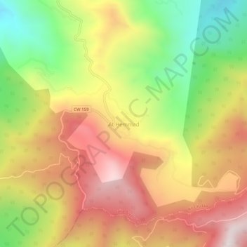
Name: Aït Hemmad topographic map, elevation, terrain.
Location: Aït Hemmad, Aït Chafâa, Daïra Azeffoun, Tizi Ouzou, Algérie (36.77652 4.50376 36.81652 4.54376)
Average elevation: 664 m
Minimum elevation: 178 m
Maximum elevation: 1,108 m
Other topographic maps
Click on a map to view its topography, its elevation and its terrain.
Aït Chafâa
Algérie > Tizi Ouzou > Daïra Azeffoun > Aït Chafâa
Aït Chafâa, Daïra Azeffoun, Tizi Ouzou, Algérie
Average elevation: 407 m