
Laufen-Uhwiesen topographic map
Interactive map
Click on the map to display elevation.
Laufen-Uhwiesen
The municipality is located on the edge of the Schaffhausen Agglomeration, though it is in the canton of Zürich. It includes the village of Uhwiesen, which is located on a terrace of the Cholfirst elevation, the village of Laufen with Laufen Castle on the Rhine Falls, and the hamlet of Nohl on the right bank of the Rhine. Until 1840, it was part of the municipality of Flurlingen.
About this map
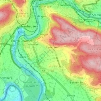
Name: Laufen-Uhwiesen topographic map, elevation, terrain.
Location: Laufen-Uhwiesen, Bezirk Andelfingen, Zurich, 8248, Switzerland (47.65985 8.60614 47.67883 8.67904)
Average elevation: 447 m
Minimum elevation: 350 m
Maximum elevation: 573 m