
Troy topographic map
Interactive map
Click on the map to display elevation.
About this map
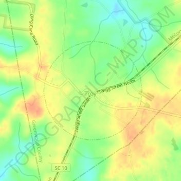
Name: Troy topographic map, elevation, terrain.
Location: Troy, Greenwood County, South Carolina, United States (33.98070 -82.30631 33.99538 -82.28864)
Average elevation: 157 m
Minimum elevation: 135 m
Maximum elevation: 175 m