
Le Congo topographic map
Interactive map
Click on the map to display elevation.
About this map
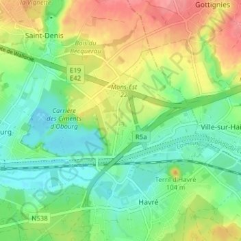
Name: Le Congo topographic map, elevation, terrain.
Location: Le Congo, Havré, Mons, Hainaut, Wallonie, 7021, Belgique (50.45790 4.01810 50.49790 4.05810)
Average elevation: 66 m
Minimum elevation: 34 m
Maximum elevation: 115 m