
Al Khalidiyah topographic map
Interactive map
Click on the map to display elevation.
About this map
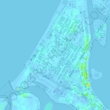
Name: Al Khalidiyah topographic map, elevation, terrain.
Location: Al Khalidiyah, Sharjah, Sharjah Emirate, United Arab Emirates (25.33074 55.35907 25.34570 55.37553)
Average elevation: 1 m
Minimum elevation: -31 m
Maximum elevation: 30 m
Other topographic maps
Click on a map to view its topography, its elevation and its terrain.
Khalidiya Park
United Arab Emirates > Sharjah Emirate > Sharjah
Khalidiya Park, Al Khalidiyah, Sharjah, Sharjah Emirate, United Arab Emirates
Average elevation: 1 m