
Thank you for supporting this site ❤️
Make a donation
Make a donation
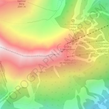
Grubigstein topographic map
Click on the map to display elevation.
Thank you for supporting this site ❤️
Make a donation
Make a donation
Grubigstein
Op de Grubigstein ligt op 2028 meter hoogte de Grubigsteinhütte. De top steekt uit boven de in het zuiden gelegen Fernpas en het daargelegen brongebied van de Loisach. Over de flank van de berg loopt de Fernpassstraße (B 179). De op deze weg gelegen Lermooser Tunnel (3168 meter) doorboort de Grubigstein.
Thank you for supporting this site ❤️
Make a donation
Make a donation
About this map
Name: Grubigstein topographic map, elevation, terrain.
Location: Grubigstein, Biberwier, Bezirk Reutte, Tirol, 6631, Oostenrijk (47.38274 10.84208 47.38284 10.84218)
Average elevation: 1,727 m
Minimum elevation: 1,102 m
Maximum elevation: 2,312 m
Thank you for supporting this site ❤️
Make a donation
Make a donation