
daïra Naâma topographic map
Interactive map
Click on the map to display elevation.
About this map
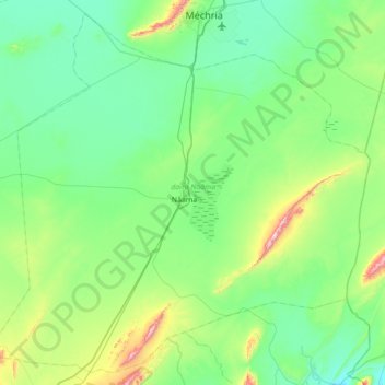
Name: daïra Naâma topographic map, elevation, terrain.
Location: daïra Naâma, Naâma, 45000, Algérie (33.00264 -0.67089 33.54550 0.02516)
Average elevation: 1,188 m
Minimum elevation: 1,051 m
Maximum elevation: 1,808 m