
Stronachlachar topographic map
Interactive map
Click on the map to display elevation.
About this map
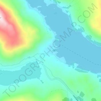
Name: Stronachlachar topographic map, elevation, terrain.
Location: Stronachlachar, Stirling, Scotland, FK8 3TY, United Kingdom (56.23657 -4.60284 56.27657 -4.56284)
Average elevation: 226 m
Minimum elevation: 114 m
Maximum elevation: 682 m