
Kadoma topographic map
Interactive map
Click on the map to display elevation.
About this map
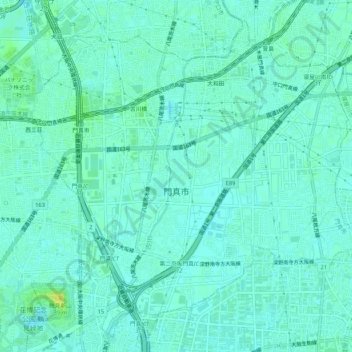
Name: Kadoma topographic map, elevation, terrain.
Location: Kadoma, Osaka Prefecture, Japan (34.71075 135.57106 34.75039 135.62393)
Average elevation: 6 m
Minimum elevation: 1 m
Maximum elevation: 18 m