
Make a donation
Yanta topographic map
Click on the map to display elevation.
Make a donation
Yanta
The village sits about 1,540 metres (5,050 ft) above sea level. The name is variously claimed to mean "God sows" or "God the sower" in Semitic, "white dove" in Syriac and "elevation" in Arabic. It has been noted that a special type of yellow marl (lake sediments) has been noticed in Yanta and the surrounding area dated to the Oxfordian. In 2001 and 2002, archaeological studies were carried out at Kamid al lawz near Yanta that unearthed a large amount of Ancient Greek pottery.
Make a donation
About this map
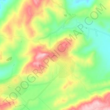
Name: Yanta topographic map, elevation, terrain.
Location: Yanta, Rashayya District, Beqaa Governorate, Lebanon (33.58413 35.92480 33.62413 35.96480)
Average elevation: 1,450 m
Minimum elevation: 1,337 m
Maximum elevation: 1,579 m
Make a donation
Other topographic maps
Click on a map to view its topography, its elevation and its terrain.
Make a donation
Make a donation
Shouf Cedar Biosphere Reserve Limit
Precipitation in the watershed is the source of both surface streamflow and groundwater. The major portion of this occurs as rain. Snowfall often occurs at the upper elevations but snow seldom persists more than a few days and disappears before the end of the rainy season. Normally snow has little overall…
Average elevation: 980 m
Make a donation