
Kasteel Well topographic map
Interactive map
Click on the map to display elevation.
About this map
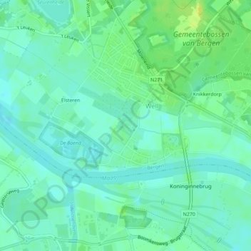
Name: Kasteel Well topographic map, elevation, terrain.
Average elevation: 17 m
Minimum elevation: 10 m
Maximum elevation: 28 m
Other topographic maps
Click on a map to view its topography, its elevation and its terrain.
Bosscherheide
Bosscherheide, Well, Bergen, Limburg, Nederland, 5855 EC, Nederland
Average elevation: 17 m