
Thank you for supporting this site ❤️
Make a donation
Make a donation
Kudatini topographic map
Click on the map to display elevation.
Thank you for supporting this site ❤️
Make a donation
Make a donation
About this map
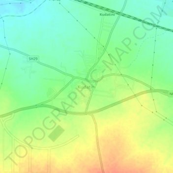
Name: Kudatini topographic map, elevation, terrain.
Location: Kudatini, Bellary taluk, Ballari, Karnataka, 583115, India (15.17687 76.73845 15.21687 76.77845)
Average elevation: 485 m
Minimum elevation: 465 m
Maximum elevation: 507 m
Thank you for supporting this site ❤️
Make a donation
Make a donation