
Casal da Serra topographic map
Interactive map
Click on the map to display elevation.
About this map
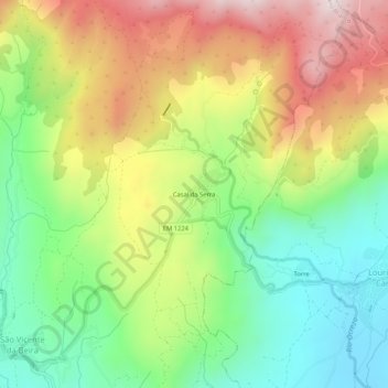
Name: Casal da Serra topographic map, elevation, terrain.
Average elevation: 722 m
Minimum elevation: 449 m
Maximum elevation: 1,088 m
Other topographic maps
Click on a map to view its topography, its elevation and its terrain.
Gardunha
Portugal > Castelo Branco > São Vicente da Beira
Gardunha, São Vicente da Beira, Castelo Branco, Portugal
Average elevation: 1,015 m