Geolocate

Alampur topographic map

Interactive map

Click on the map to display elevation.

About this map

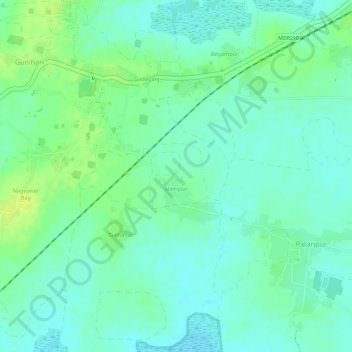
Name: Alampur topographic map, elevation, terrain.

Location: Alampur, Rajmahal, Sahibganj District, Jharkhand, India (25.03153 87.80680 25.03657 87.81219)

Average elevation: 29 m

Minimum elevation: 21 m

Maximum elevation: 39 m

Other topographic maps

Click on a map to view its topography, its elevation and its terrain.

Dharampur

India > Jharkhand > Rajmahal

Dharampur, Rajmahal, Sahibganj District, Jharkhand, India

Average elevation: 28 m

Dogachhi

India > Jharkhand > Rajmahal > Stridhas

Dogachhi, unsurveyed, Stridhas, Rajmahal, Sahibganj (district), Jharkhand, India

Average elevation: 24 m

Manikpur

India > Jharkhand > Rajmahal

Manikpur, Rajmahal, Sahibganj (district), Jharkhand, India

Average elevation: 32 m

Rajmahal

India > Jharkhand > Rajmahal

Rajmahal, Sahibganj, Jharkhand, 816108, India

Average elevation: 46 m