
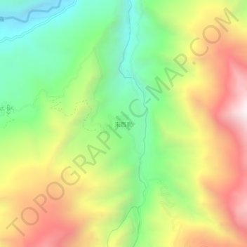
来西勒 topographic map
Interactive map
Click on the map to display elevation.
About this map
Name: 来西勒 topographic map, elevation, terrain.
Location: 来西勒, 加玉乡, 隆子县, 山南市, 西藏自治区, 中国 (28.19386 92.59291 28.23386 92.63291)
Average elevation: 4,118 m
Minimum elevation: 3,492 m
Maximum elevation: 4,902 m
Other topographic maps
Click on a map to view its topography, its elevation and its terrain.