
海淀公园 topographic map
Interactive map
Click on the map to display elevation.
About this map
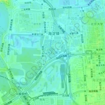
Name: 海淀公园 topographic map, elevation, terrain.
Location: 海淀公园, 燕园街道, 六郎庄村, 海淀区, 北京市, 中国 (39.98098 116.28577 39.98766 116.29328)
Average elevation: 51 m
Minimum elevation: 46 m
Maximum elevation: 61 m