
当涂县 topographic map
Interactive map
Click on the map to display elevation.
About this map
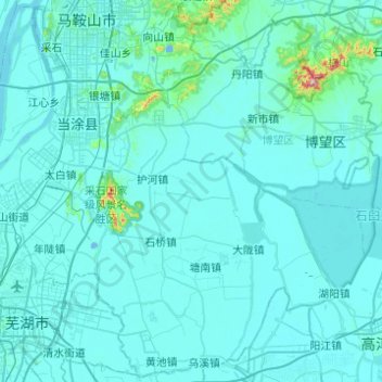
Name: 当涂县 topographic map, elevation, terrain.
Location: 当涂县, 马鞍山市, Anhui, 243100, Cina (31.29207 118.37118 31.69995 118.86374)
Average elevation: 18 m
Minimum elevation: -6 m
Maximum elevation: 437 m