
Bachhwara topographic map
Interactive map
Click on the map to display elevation.
About this map
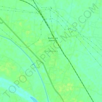
Name: Bachhwara topographic map, elevation, terrain.
Location: Bachhwara, Begusarai District, Bihar, 804457, India (25.55760 85.87785 25.59760 85.91785)
Average elevation: 45 m
Minimum elevation: 38 m
Maximum elevation: 49 m