
Thank you for supporting this site ❤️
Make a donation
Make a donation
Fraiz topographic map
Click on the map to display elevation.
Thank you for supporting this site ❤️
Make a donation
Make a donation
About this map
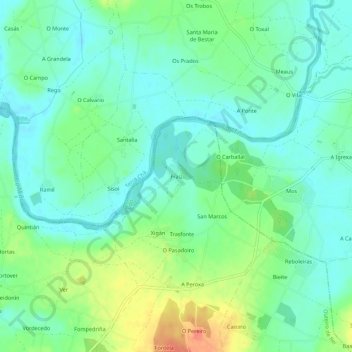
Name: Fraiz topographic map, elevation, terrain.
Location: Fraiz, Taboi, Outeiro de Rei, Lugo, Galicia, 27268, España (43.13885 -7.58707 43.17885 -7.54707)
Average elevation: 400 m
Minimum elevation: 385 m
Maximum elevation: 432 m
Thank you for supporting this site ❤️
Make a donation
Make a donation