
Thank you for supporting this site ❤️
Make a donation
Make a donation
Carapinha topographic map
Click on the map to display elevation.
Thank you for supporting this site ❤️
Make a donation
Make a donation
About this map
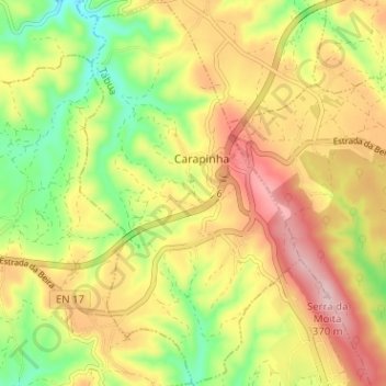
Name: Carapinha topographic map, elevation, terrain.
Location: Carapinha, Tábua, Coimbra, Portugal (40.26007 -8.11249 40.30844 -8.07621)
Average elevation: 249 m
Minimum elevation: 131 m
Maximum elevation: 365 m
Thank you for supporting this site ❤️
Make a donation
Make a donation
Other topographic maps
Click on a map to view its topography, its elevation and its terrain.