
Gulf Port topographic map
Interactive map
Click on the map to display elevation.
About this map
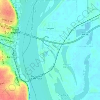
Name: Gulf Port topographic map, elevation, terrain.
Location: Gulf Port, Henderson County, Illinois, United States (40.79137 -91.09765 40.82281 -91.06844)
Average elevation: 166 m
Minimum elevation: 154 m
Maximum elevation: 215 m
Other topographic maps
Click on a map to view its topography, its elevation and its terrain.
Oquawka
United States > Illinois > Henderson County
Oquawka, Henderson County, Illinois, 61469, United States
Average elevation: 169 m
Media
United States > Illinois > Henderson County
Media, Henderson County, Illinois, 61460, United States
Average elevation: 216 m