
Gönningen topographic map
Interactive map
Click on the map to display elevation.
About this map
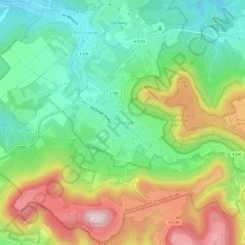
Name: Gönningen topographic map, elevation, terrain.
Average elevation: 608 m
Minimum elevation: 451 m
Maximum elevation: 857 m
Other topographic maps
Click on a map to view its topography, its elevation and its terrain.
Bronnweiler
Deutschland > Baden-Württemberg > Landkreis Reutlingen > Reutlingen
Bronnweiler, Reutlingen, Landkreis Reutlingen, Baden-Württemberg, 72770, Deutschland
Average elevation: 520 m