
Boiças topographic map
Interactive map
Click on the map to display elevation.
About this map
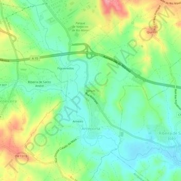
Name: Boiças topographic map, elevation, terrain.
Location: Boiças, Anteporta, Rio Maior, Santarém, 2040-064, Portugal (39.27723 -8.92957 39.31723 -8.88957)
Average elevation: 66 m
Minimum elevation: 25 m
Maximum elevation: 141 m