
坉脚镇 topographic map
Interactive map
Click on the map to display elevation.
About this map
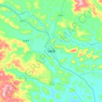
Name: 坉脚镇 topographic map, elevation, terrain.
Location: 坉脚镇, 兴仁市, 黔西南布依族苗族自治州, 贵州省, 中国 (25.33270 105.27200 25.41270 105.35200)
Average elevation: 1,345 m
Minimum elevation: 1,234 m
Maximum elevation: 1,601 m