
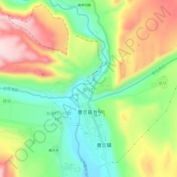
吉让村 topographic map
Interactive map
Click on the map to display elevation.
About this map
Name: 吉让村 topographic map, elevation, terrain.
Location: 吉让村, 普兰镇, 普兰县, 阿里地区, 西藏自治区, 中国 (30.28125 81.15417 30.32125 81.19417)
Average elevation: 3,984 m
Minimum elevation: 3,837 m
Maximum elevation: 4,178 m
Other topographic maps
Click on a map to view its topography, its elevation and its terrain.