
转经楼村 topographic map
Interactive map
Click on the map to display elevation.
About this map
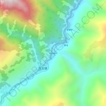
Name: 转经楼村 topographic map, elevation, terrain.
Location: 转经楼村, 卧龙镇, 汶川卧龙特别行政区, 汶川县, 阿坝藏族羌族自治州, 四川省, 中国 (31.02781 103.18231 31.06781 103.22231)
Average elevation: 2,266 m
Minimum elevation: 1,848 m
Maximum elevation: 3,152 m
Other topographic maps
Click on a map to view its topography, its elevation and its terrain.