
Mount Athena topographic map
Interactive map
Click on the map to display elevation.
About this map
Name: Mount Athena topographic map, elevation, terrain.
Average elevation: 1,513 m
Minimum elevation: 1,346 m
Maximum elevation: 2,190 m
Other topographic maps
Click on a map to view its topography, its elevation and its terrain.
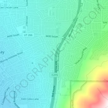
Johnsonville
United States > Utah > Salt Lake County > Holladay
Johnsonville, Holladay, Salt Lake County, Utah, 84121, United States
Average elevation: 1,366 m