
Sathyavanipalem topographic map
Interactive map
Click on the map to display elevation.
About this map
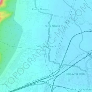
Name: Sathyavanipalem topographic map, elevation, terrain.
Location: Sathyavanipalem, Visakhapatnam, Andhra Pradesh, 530046, India (17.70920 83.16515 17.74920 83.20515)
Average elevation: 25 m
Minimum elevation: 4 m
Maximum elevation: 271 m