
Thank you for supporting this site ❤️
Make a donation
Make a donation
Jesús María topographic map
Click on the map to display elevation.
Thank you for supporting this site ❤️
Make a donation
Make a donation
About this map
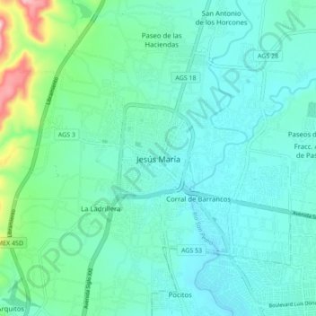
Name: Jesús María topographic map, elevation, terrain.
Location: Jesús María, Aguascalientes, 20910, México (21.92149 -102.38449 22.00149 -102.30449)
Average elevation: 1,898 m
Minimum elevation: 1,843 m
Maximum elevation: 2,159 m
Thank you for supporting this site ❤️
Make a donation
Make a donation