
Langestaart topographic map
Interactive map
Click on the map to display elevation.
About this map
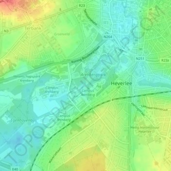
Name: Langestaart topographic map, elevation, terrain.
Location: Langestaart, Leuven, Vlaams-Brabant, Vlaanderen, 3001, België (50.86379 4.68414 50.86465 4.68555)
Average elevation: 37 m
Minimum elevation: 15 m
Maximum elevation: 75 m
Other topographic maps
Click on a map to view its topography, its elevation and its terrain.
Provinciedomein Kessel-Lo
België > Vlaanderen > Leuven
Provinciedomein Kessel-Lo, Kesseldal, Kessel-Lo, Leuven, Vlaams-Brabant, Vlaanderen, 3010, België
Average elevation: 27 m