
Hayti topographic map
Interactive map
Click on the map to display elevation.
About this map
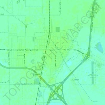
Name: Hayti topographic map, elevation, terrain.
Location: Hayti, Pemiscot County, Missouri, 63851, United States (36.21860 -89.76794 36.24698 -89.71366)
Average elevation: 82 m
Minimum elevation: 76 m
Maximum elevation: 86 m
Other topographic maps
Click on a map to view its topography, its elevation and its terrain.
Samford
United States > Missouri > Pemiscot County
Samford, Pemiscot County, Missouri, United States
Average elevation: 78 m
Steele
United States > Missouri > Pemiscot County
Steele, Pemiscot County, Missouri, United States
Average elevation: 79 m