
Greene topographic map
Interactive map
Click on the map to display elevation.
About this map
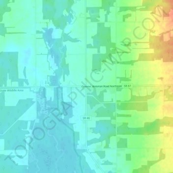
Name: Greene topographic map, elevation, terrain.
Location: Greene, Trumbull County, Ohio, United States (41.44200 -80.76647 41.48200 -80.72647)
Average elevation: 288 m
Minimum elevation: 275 m
Maximum elevation: 319 m