
Jebel Qutta topographic map
Interactive map
Click on the map to display elevation.
About this map
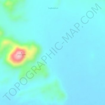
Name: Jebel Qutta topographic map, elevation, terrain.
Location: Jebel Qutta, Jebrat al Sheikh, North Kordofan State, Sudan (15.01008 30.37910 15.01018 30.37920)
Average elevation: 536 m
Minimum elevation: 505 m
Maximum elevation: 726 m